The Ministry of Energy has launched "Online Platform for Green Zoning" in test mode — an interactive map showing the solar and wind potential of each area of Ukraine, as well as proximity to existing energy infrastructure. The tool was created as part of the Ukrainian-Danish energy partnership.
The platform is tied to the requirements of the Ukraine Facility program for 2024–2027 and EU regulations — effectively making it part of pre-accession energy adaptation. According to Denis Shmyhal, this is not just a reference resource, but rather a foundation for making investment decisions in the renewable energy sector.
Why the map appeared now
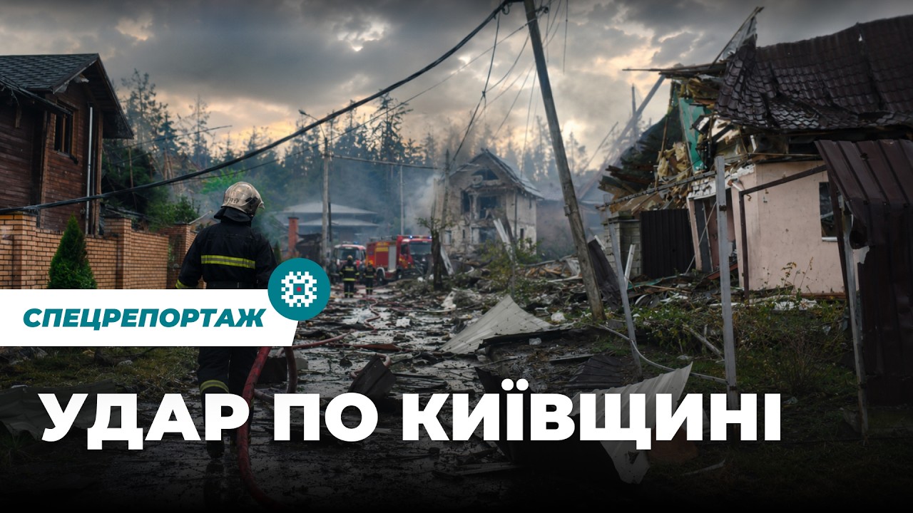
The logic behind the launch is clear: Ukraine is simultaneously building a new energy architecture. The plan is to replace large thermal power plants and centralized networks, vulnerable to drone strikes, with distributed renewable generation and smaller gas stations, which are less attractive targets. This requires precise spatial analytics — which the zoning platform is meant to provide to investors and designers.
At the same time, there is a structural limitation that the map does not solve. The highest potential for renewable energy is concentrated in regions that are or were under Russian control. That is, the most valuable zones on the platform today are zones with the highest security risk.
Context: The money is already there, sites are lacking
The European Investment Bank, UNDP and GIZ announced a new partnership to support Ukraine's renewable energy — the agreement was presented at the Ukraine Recovery Conference in Rome on July 10, 2025. In parallel, according to Yale Environment 360, DTEK is already installing a 500-megawatt Tylihulska wind power plant — the first wind farm being built in a combat zone.
So investment appetite exists even now. The zoning platform is an attempt to structure it: to transform chaotic requests into a standardized site assessment procedure compatible with European permitting norms.
"Ukraine has already achieved over 75% of its target for reducing greenhouse gas emissions, and the share of green electricity has risen to 17.3%".
— Government Portal, July 2025
What remains off-screen
The platform is currently operating in test mode — without public information about what data forms the basis of the model, how up-to-date the infrastructure layers are after the massive shelling of 2024–2025, and who verifies input data. This is not a minor detail: an investor relying on a map with an outdated substation will receive a false signal about connection costs.
- Solar and wind potential — static data that changes slowly.
- Proximity to infrastructure — a dynamic parameter requiring regular updates after strikes.
- Permitting restrictions (buffer zones, air defense facilities, critical infrastructure) — it is publicly unknown whether these are reflected on the platform.
If the Ministry of Energy transitions from test mode to full launch without methodological documentation, the platform risks becoming a beautiful presentation tool rather than a working tool for investments.
The real test will come when the first major renewable energy project passes the permitting process based on the platform's data: if the approval cycle is shortened — the tool works.