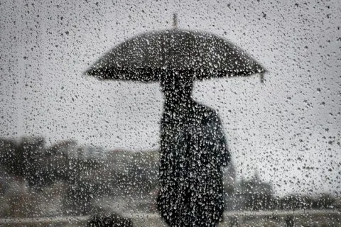
The new week in Ukraine will begin with rain — forecasters predict precipitation and thunderstorms in southern, central, and eastern regions. By September 16, the weather will stabilize, and daytime air temperatures will drop to 16-23°.
Over the next two days, rain is expected in most southern, central, and eastern regions, with thunderstorms in places; on the rest of the territory, September 16 in Ukraine will be mostly without precipitation — meteorologists reported.
At night, temperatures of 7-15° are expected, during the day — 16-23°, and in the southeast tomorrow thermometers could show up to 27°. This is that rare case when the difference between daytime and nighttime temperatures of 10-15 degrees is not an anomaly, but a typical September picture for the transitional season.
Practical perspective: why these two days matter beyond just an umbrella
Against the backdrop of rain and fog in regions bordering the Carpathians — Transcarpathia and Subcarpathia — significant visibility reduction is expected in the morning. For drivers and logistics companies operating in the western direction, this means a real risk of delays already by the morning of September 14.
In southern, most central regions, during the day and in eastern regions, including places in Sumy region, rain is expected with occasional thunderstorms; on the rest of the territory without precipitation. At night and in the morning, fog is possible in Transcarpathia and Subcarpathia. Wind predominantly northerly, 5-10 m/s — meteorologists reported.
Northerly winds with speeds of 5-10 m/s will additionally lower temperatures in the front-line regions of the east — precisely where the stability of power supply already depends on weather conditions. On September 14, temperatures of 16-21° are expected during the day, and in the southeast — 22-27°.
What this means in practice
- Farmers in southern and central regions will get a chance at additional moisture before completing field work.
- Energy specialists note temperature fluctuations as a factor affecting consumption — sharp cold snaps at night traditionally increase network load.
- Drivers should allow extra time for routes through Transcarpathia and Subcarpathia due to morning fog.
After September 16, most of the country's territory can expect dry weather — the only question is how long this window of stability will last before the next cyclone, which typically arrives in Ukraine from the west in the second half of September.